Assessment of Current Ice Conditions Relevant to Distribution and Access of Walrus
Near St. Lawrence Island
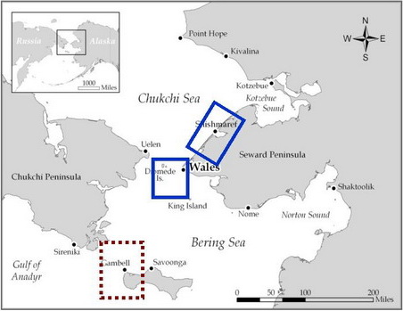
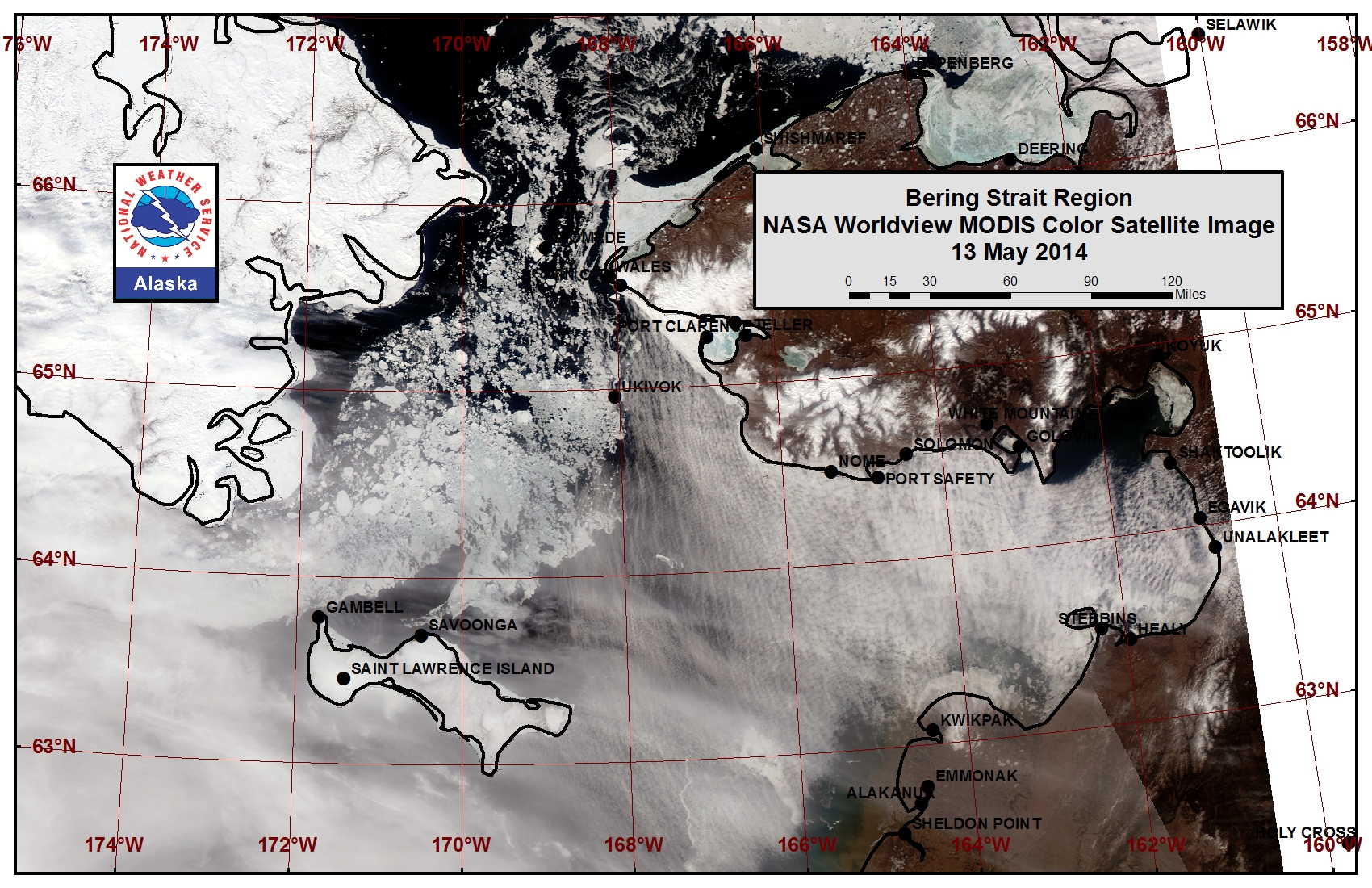
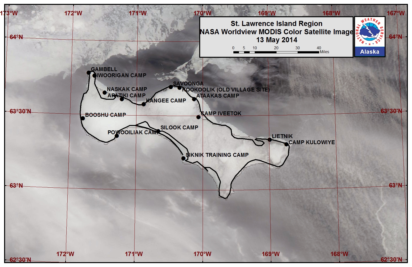
The large polynya that was present along the southern coastline of St. Lawrence Island last week shifted so it now extends roughly 100 miles off the west coast of the island. An isolated high concentration area of mainly young and new sea ice lies near Powooiliak Bay along the southern coast of the island. An area of open pack ice consisting of small and medium floes lies off the southern coastline from Koozata Lagoon to near Boxer Bay. A polynya near Oomeyaluk Bay extends 5 to 30 miles beyond the shorefast ice edge. Shorefast ice along the northern coastline is continuing to destabilize and break off currently extending up to 4 miles from the shoreline. Open water and very open pack ice lie beyond the shorefast ice along the northern coastline of the island at this time.
Wales to Shishmaref
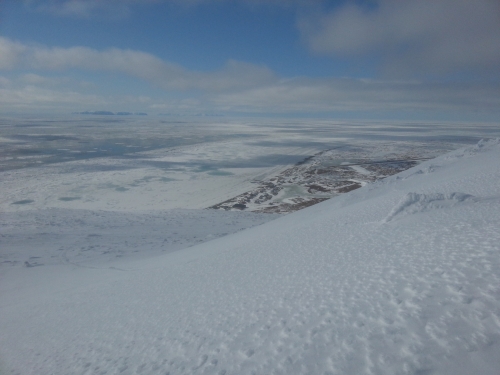
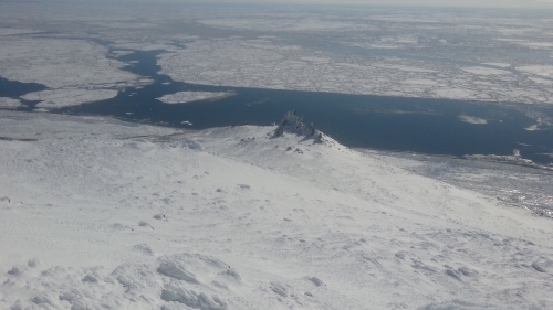
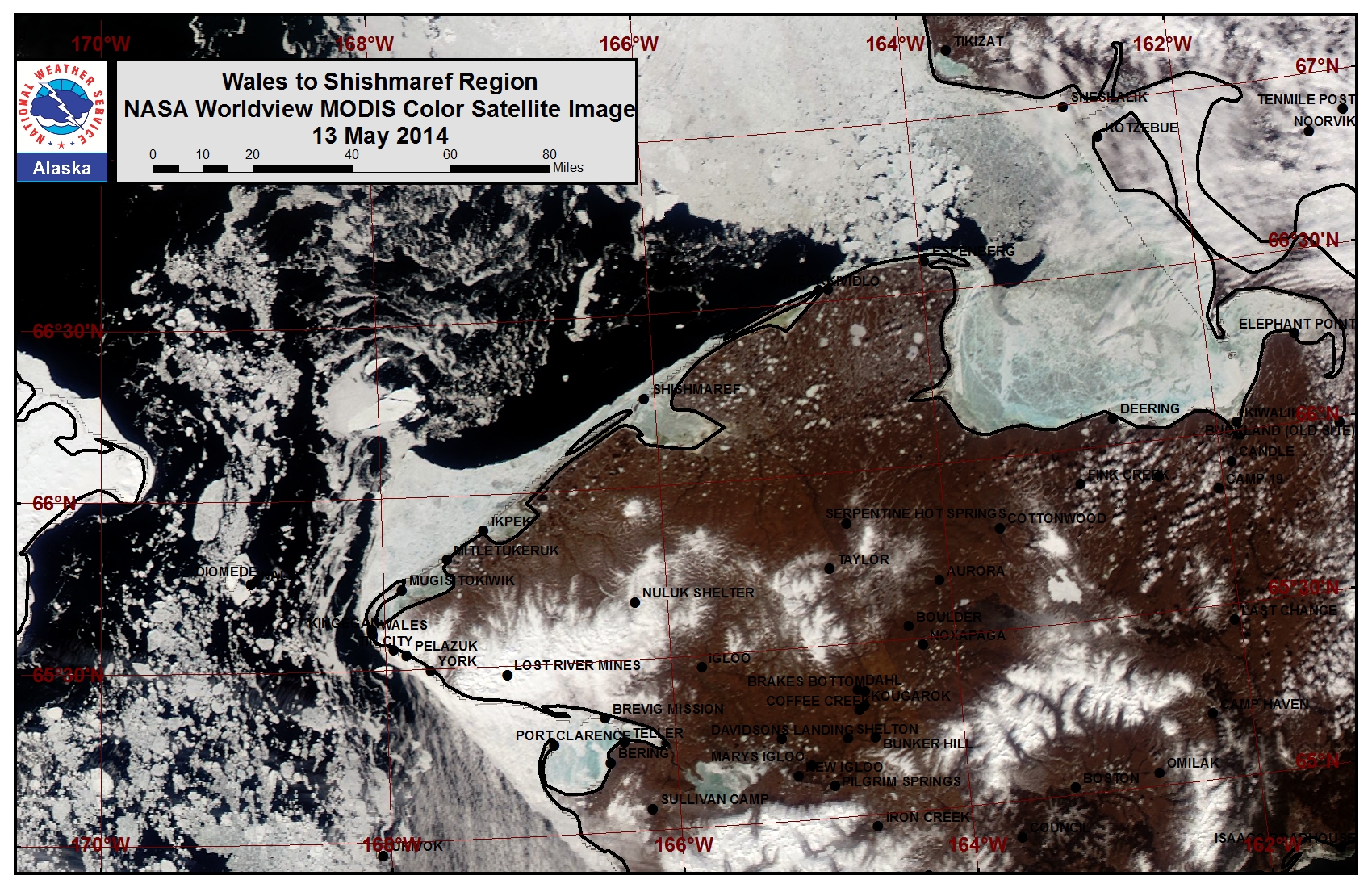
The outer extent of the shorefast ice from Ikpek up to Shishmaref remained relatively stable this past week, however melt ponds are beginning to form and some near-shore ice in the area is showing signs of runoff. The shorefast ice extent along the coast now varies from 2 miles off Shishmaref to 15 miles off Ikpek to 8 miles off Mugisitokiwik. The outer extent of the shorefast ice along this coastline formed later in the year and the outer extent of the shorefast ice from Wales up to Ikpek may destabilize this week. Close pack ice is shifting through the Bering Strait and consists of small to vast ice floes. A polynya has formed beyond the shorefast ice edge from near Ikpek to near Singeak, stretching 5 to 15 miles wide.
5 to 10 Day Forecast
Weather System/Wind Synopsis
High pressure over the southern Bering Sea with a low-pressure system moving through the Chukchi on Friday, 16 May will create west to southwest winds of 20 to 30 mph (15 to 25 kt). The low-pressure system will move off the Yukon with high pressure building over the entire Bering Sea into the Chukchi on Saturday, 17 May. Winds will become northwest at 15 to 20 mph (10 to 15 kt). High pressure weakens in the Chukchi on Sunday resulting in lighter winds (west around 15 mph, or 10 kt). Another low-pressure system swings through the area Monday with west winds of 15 to 20 mph (10 to 15 kt). High pressure builds over the Chukchi Sea again on Tuesday with northerly winds of 15 to 25 mph (10 to 20 kt). This flow will last into Wednesday, 21 May before the high pressure weakens on Thursday the 22nd with resultant winds of northwest at 15 to 20 mph (10 to 15 kt). High pressure weakens a bit more on Friday the 23rd. A weak low will move through the northern Chukchi Sea Saturday and Sunday (24-25 May) and will push the winds back to southwest at 15 to 20 mph (10 to 15 kt). On Monday the 26th, the Bering Strait area will be between systems with variable winds less than 15 mph (<10kt).
Temperature Trend & Ice Forecast
Temperatures will remain near normal during this period with upper 20s to lower 30s for overnight temperatures, mid 40s along the coast and mid 30s over the Bering Strait and St. Lawrence Island for daytime highs. Due to seasonal temperatures, ice melt-out will continue for thinner ice and near-river deltas. Shorefast ice will become more unstable and continue to break off. Due to the mostly west and northerly flow, ice floes will move toward the Alaska coast and northern coastline of St. Lawrence Island during the week. Polynyas west of St. Lawrence Island will likely close in with sea ice due to the wind flow pattern this week.
Arrows show wind direction and wind speed in knots


Remote Sensing Images
Observations and Comments
Observations of Sea Ice Development
Observations from Wales
4 May 2014 - Amos Oxereok

