Assessment of Current Ice Conditions Relevant to Distribution and Access of Walrus
St. Lawrence Island
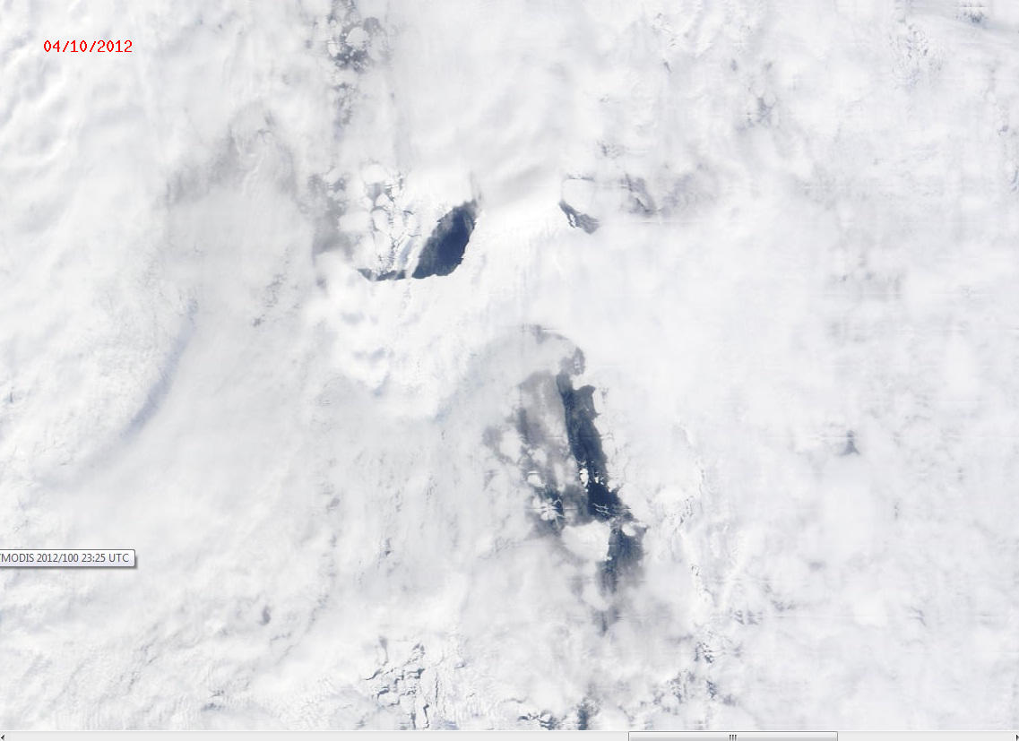
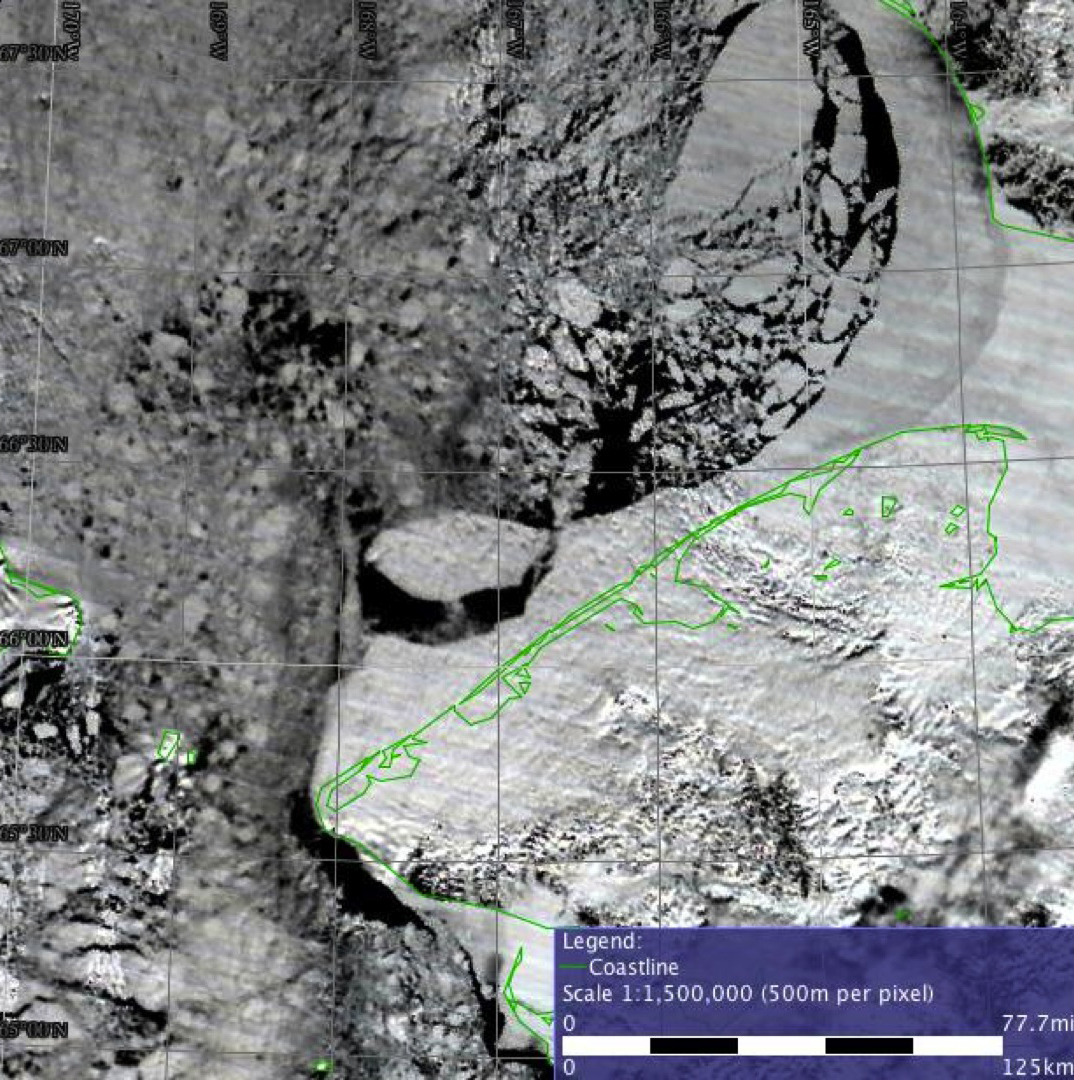
Satellite imagery shows that the southerly winds over the Bering Sea region the last several days have caused the ice pack to fracture and break up in many areas. With the return of northerly winds the eastern portion of the polynya south of St. Lawrence Island has large areas of new and young ice with large floes embedded in it. There are large leads of open water and new and young ice along the edge of the shorefast ice. North of St. Lawrence the ice pack has become loose with more new and young ice present. However, with the return of northerly winds, the ice pack is being pushed back down against the Island and becoming more compact.
Wales to Shishmaref
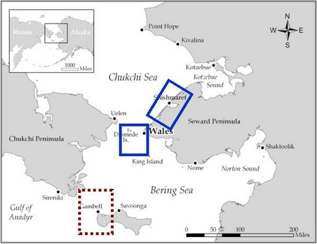
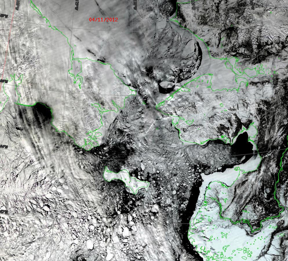
The persistent southerly winds have fractured and broken up the ice pack in the Bering Strait and southern Chukchi Sea, especially in Kotzebue Sound. Wide leads between the shorefast ice and the ice pack are present from south of Wales to Cape Prince of Wales. A very large piece of the shorefast ice north of Shishmaref has broken off and drifted northward. This large floe is clearly seen in the satellite imagery. However, northerly winds are now pushing the ice slowly back south.
5 to 10 Day Forecast
A very strong low pressure system will move into the Gulf of Alaska Sunday, 15 April and persist for a number of days. This will result in a high pressure ridge forming over the Central Bering Sea, extending into the southern Chukchi Sea. It is expected to last for the next 10 days, resulting in consistent northerly winds through the entire period. Generally the winds will be 20-25 knots, with cold nights but temperatures in the 20s during the day. The northerly winds will slowly compact the ice pack up against north shores but push ice off south facing shores. There should be very little movement of ice floes northward.
Arrows show wind direction and wind speed in knots


Remote Sensing Images
Observations and Comments
Observations of Sea Ice Development
Comments From Shishmaref
12 April 2012 - Hajo Eicken, UAF
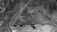
The radar satellite image from 1 April (see below) shows a line of ridges extending out to the Northeast of Wales and grounded on a shoal approximately 50 km offshore. As described by contributors such as Curtis Nayokpuk in previous years (see 2010), this shoal deflects the migration of marine mammals and is important for hunters in Shishmaref. Satellite images indicate that beginning on 7 April landfast ice to the northeast and southeast of the grounded ridges began to break out. The most recent image from 12 April (see Remote Sensing Image, above) shows substantial retreat of the shorefast ice to the east of the shoal with a large floe fragment still visible in its original context. In 2010, a similar break-out occurred on around the same date.
Comments From Wales
13 April 2012 - Hajo Eicken, UAF
Based on fieldwork by Hajo Eicken, Greg Deemer, and Davis Ongtowasruk; with additional input from Winton Weyapuk, Jr. and Raymond Seetook.
Thickness profiles drilled in the shorefast ice at Wales show that the level ice near town is 3 feet 9 inches thick with 10 inches of snow. Five miles to the north the level ice is 4 feet 5 inches thick with a snow cover of 2.5 inches. Despite the cold winter, the ice is thinner than measured in previous years. By comparison, shorefast ice thicknesses in northern Alaska near Barrow are greater than they have been in the past 15 years or so.
There are large stretches of level ice along the coast at Wales and the shorefast ice is broader than it has been in previous years according to Mr. Weyapuk and Mr. Seetook. Several local hunters and ice experts agreed that because of the width and lack of grounded ice further offshore, access to the lead for the spring hunt will be difficult this year. Hunters are likely to begin going out by boat in the coming week.
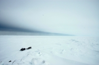
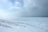
Water Sky - http://en.wikipedia.org/wiki/Water_sky
