Assessment of Current Ice Conditions Relevant to Distribution and Access of Walrus
Near St. Lawrence Island
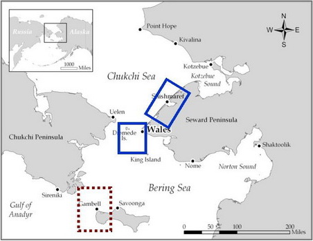
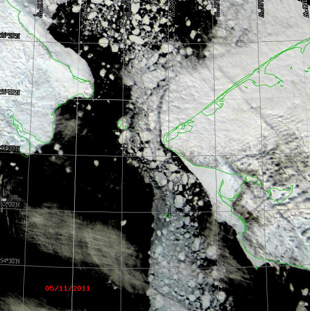
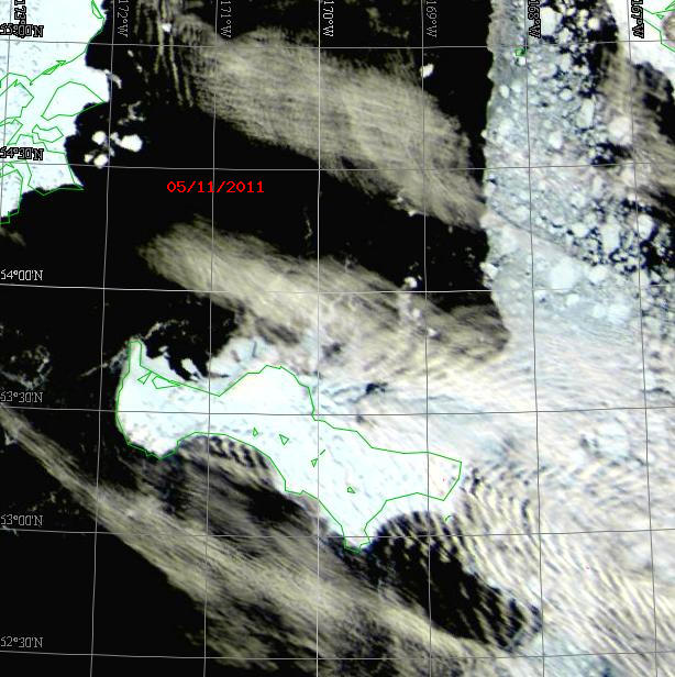
The combination of strong southeast winds and 7-8 foot seas is eroding the shorefast ice along the south shore of St. Lawrence Island. However, as the southeast winds continue over the next few days, they will push what is left of the pack ice south of the island up against the coast. Satellite imagery shows the shorefast ice between Gambell and Savoonga breaking up. Heavy concentrations of 6-9 tenths (i.e., 60-90%) continue to exist east of Savoonga. The southeast winds are pushing the strings of sea ice just west of Gambell further to the northwest. These southerly winds are also bringing warm temperatures.
Wales to Shishmaref
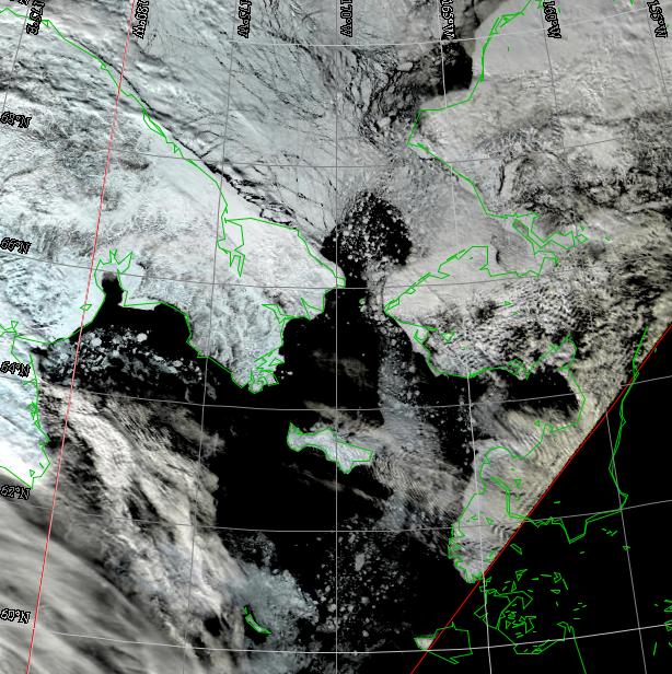
The heavy concentration of large floes that were pushed up near the coast is now being pushed offshore by the southeast winds. This should increase the open water just offshore of the shorefast ice. Looking at a sequence of satellite sea ice images shows many of these floes shifting quickly northward through the Bering Strait. The southeast winds have fractured the ice in the southern Chukchi Sea. The shorefast ice off of Shishmaref continues to hold in place, however, the ice is now fractured with many leads.
5-10 Day Forecast
A developing low in the southeast Bering Sea will move to the northern Bering Sea by Saturday, 14 May. This will keep the pressure gradient tight with southeast winds generally greater than 25 knots through the weekend. Another low in the southeast Bering Sea will move eastward to the western tip of the Alaska Peninsula where it will weaken by Tuesday, 17 May. This will cause a shift in wind direction (to northeast) on Monday, 16 May. The low will then gain intensity and drift westward to the central Aleutians, finally weakening by Saturday, 21 May. This will result in a general relaxation of the winds over the Bering Sea through Monday, 23 May.
Arrows show wind direction and wind speed in knots


Remote Sensing Images
Observations and Comments
Observations of Sea Ice Development
13 May 2011 - Hajo Eicken; researcher, University of Alaska Fairbanks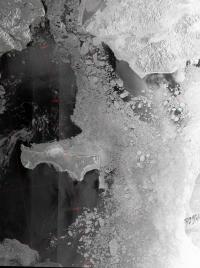
Also, the satellite image shows that ice floes are much larger over in the eastern Bering Sea than the western. West of Gambell only very small floes strung out in long bands remained a week ago. Now, these bands are mostly dispersed or melted.
The landfast ice along the coast between Wales and Shishmaref is still kept in place by grounded ridges. However, the satellite image shown above for the Bering Strait also shows that ice pack is opening up north of the Strait, probably aided by inflow of warmer water from the south that helps keep the ice back. This warm water may also start melting back some of the ridges that keep the landfast ice extension offshore from Wales in place and will contribute to its decay and removal in the coming weeks.
13 May 2011 - Hajo Eicken; researcher, University of Alaska Fairbanks
Also, the satellite image shows that ice floes are much larger over in the eastern Bering Sea than the western. West of Gambell only very small floes strung out in long bands remained a week ago. Now, these bands are mostly dispersed or melted.
The landfast ice along the coast between Wales and Shishmaref is still kept in place by grounded ridges. However, the satellite image shown above for the Bering Strait also shows that ice pack is opening up north of the Strait, probably aided by inflow of warmer water from the south that helps keep the ice back. This warm water may also start melting back some of the ridges that keep the landfast ice extension offshore from Wales in place and will contribute to its decay and removal in the coming weeks.
