Assessment of Current Ice Conditions Relevant to Distribution and Access of Walrus
Near St. Lawrence Island
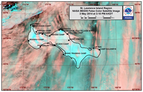
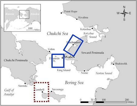
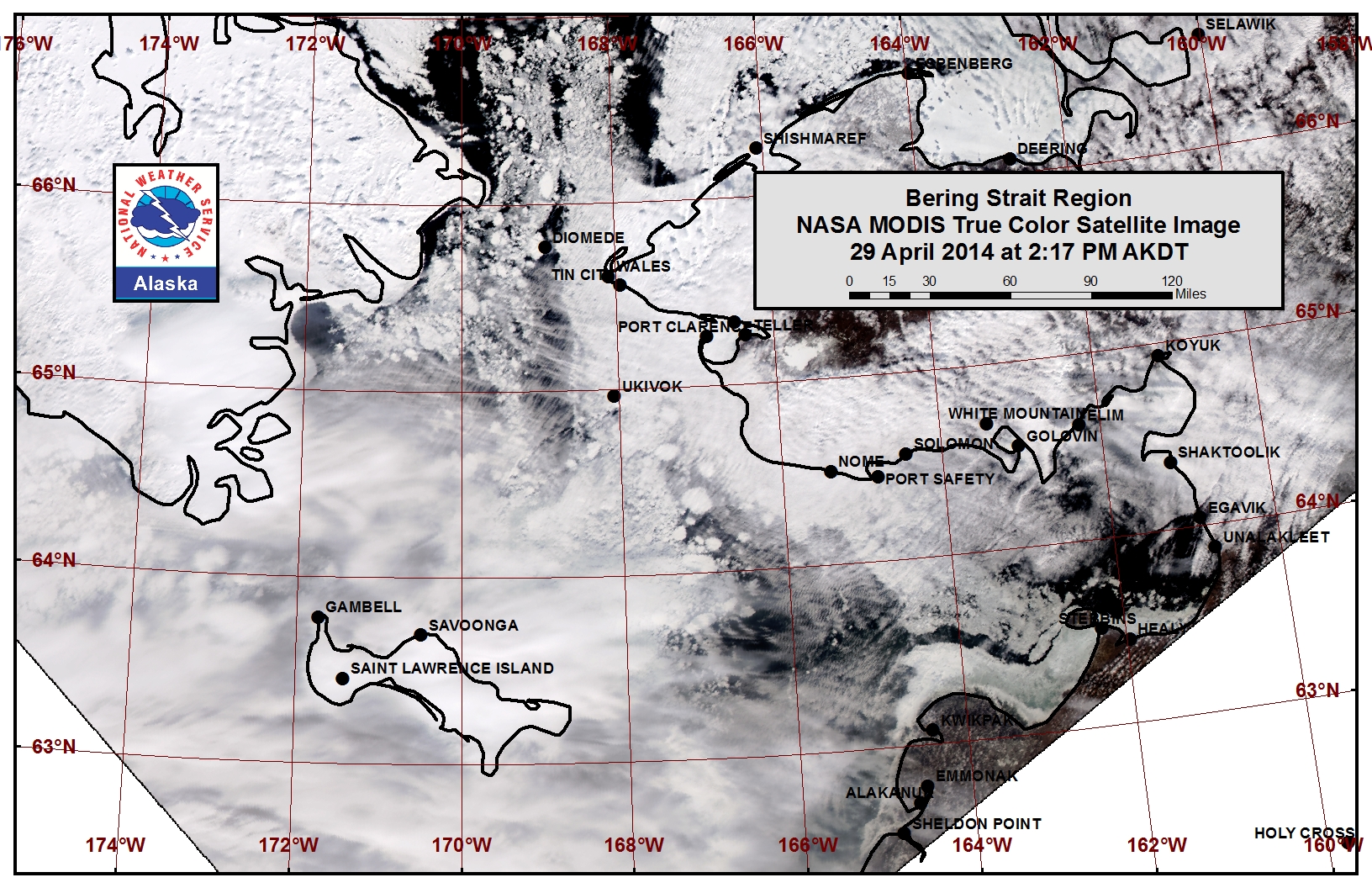
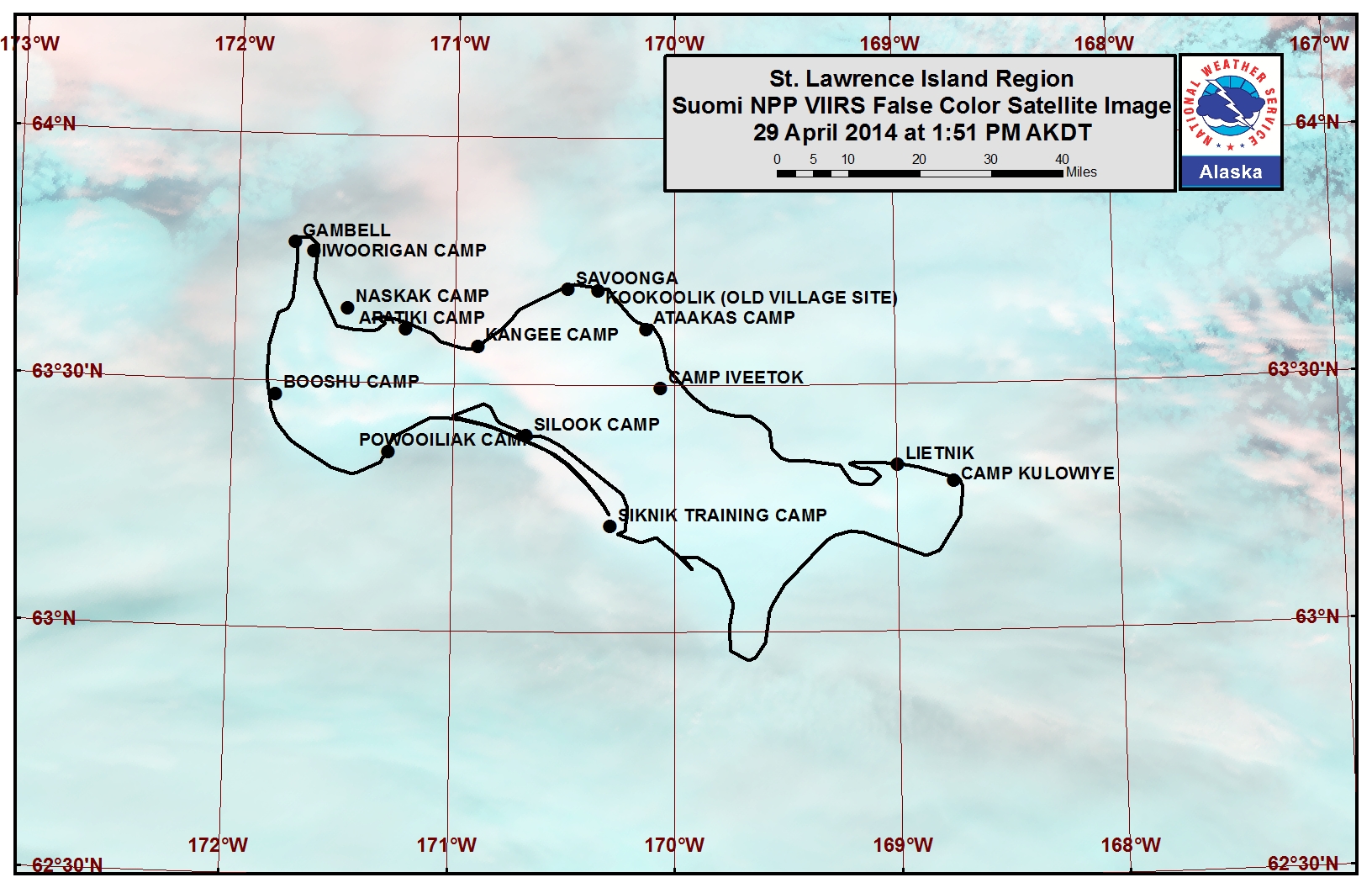
Satellite imagery shows a large polynya along the southern and western coastline of St. Lawrence Island, stretching 25 to 150 miles beyond the shoreline. Grease ice covers parts of the polynya, mainly forming overnight and melting during the day. Open pack ice composed of small to vast floes lies off the northern coastline beyond the shorefast ice extent with new and young sea ice in between the floes. The shorefast ice along the northern coastline of the island extends roughly 1 to 4 miles, while the shorefast ice along the southern coastline is mainly limited to the lagoons.
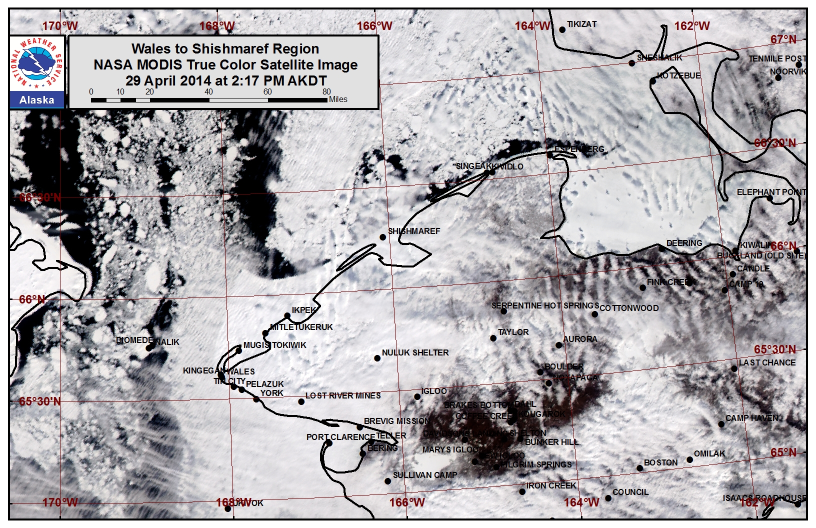
Wales to Shishmaref
The outer extent of the shorefast ice from Ikpek up to Shishmaref remained relatively stable this past week. The shorefast ice extent along the coast now varies from 2 miles off Shishmaref to 19 miles off Ikpek to 8 miles off Mugisitokiwik. The outer extent of the shorefast ice along this coastline formed later in the year and the outer extent of the shorefast ice from Wales up to Ikpek may destabilize this week. Close pack ice lies near the Bering Strait and mainly consists of medium to vast floes with areas of leads freezing over with new and young ice.
5 to 10 Day Forecast
Weather System/Wind Synopsis
High pressure will be situated over Bristol Bay on Friday, 2 May with a low in the Arctic north of Eastern Russia resulting in south winds of 15 to 25 mph (10 to 20 kt). A weak low-pressure system will cross the Bering Strait Saturday and Sunday (3-4 May), with wind picking up from the southwest Saturday at 20 to 30 mph (15 to 25 kt). The winds will switch to the west and northwest Sunday as the low makes its way inland by Monday, 5 May, and high pressure builds in the western Bering Sea. Moderate southwest winds (20 to 30 mph, 15 to 25 kt) will remain Monday and Tuesday (5-6 May) as low pressure sets up again in the Arctic north of Eastern Russia with high pressure in the northwest Pacific Ocean. A low-pressure system pushes through the Bering Strait Wednesday and Thursday (7-8 May) with moderate southerly winds (20 to 30 mph, 15 to 25 kt). The low will exit the region Friday, 9 May with a weak low remaining in the Arctic north of Siberia and weak high pressure in the Bering Sea. Resultant winds will be south 15 to 20 mph (10 to 15 kt).
Temperature Trend & Ice Forecast
Temperatures are expected to be near normal over the entire timeframe. This means daytime temperatures will be slightly above freezing with nighttime lows in the twenties. With warmer temperatures and mostly southerly winds through the period, high concentrations of thick ice will flow north through the Bering Strait and toward St. Lawrence Island. Ice melt is likely thinner ice. In addition, the outer extent of the shorefast ice from Wales to Ikpek may continue to destabilize and break off due to good ice flow from the south and the warmer temperatures. We can expect the polynya south of St. Lawrence Island to decrease as areas of ice in the northern Bering Sea push north.
Arrows show wind direction and wind speed in knots


Remote Sensing Images
Additional Comments Provided by Local Experts and Other Contributors
Updated Imagery of St. Lawrence Island, 4 May
There was a slightly better satellite image for St. Lawrence Island . Based on the imagery, the ice has moved farther north on the north side of St. Lawrence Island. The two flows that you can see off the northeast side of the island in this image are about all that's out there until you get about 30 nautical miles north or more.
