Assessment of Current Ice Conditions Relevant to Distribution and Access of Walrus
Near St. Lawrence Island
Satellite imagery shows the extensive sea ice surrounding St. Lawrence Island. Very close pack ice consisting of first year thin to first year thick ice has consolidated along the northern coastline of the island. It is likely that the ice in this offshore region has formed ridges while buckling due to the wind stress. It may be grounded in some locations. A narrow polyna, 4 to 7 miles wide, is present along the southern shoreline of the island, however due to the very cold temperatures areas of open water are refreezing rapidly with new and young ice forming. The shorefast ice is beginning to destabilize and very small areas of shorefast ice on the southern shoreline have broken away in the past week.
Wales to Shishmaref
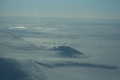
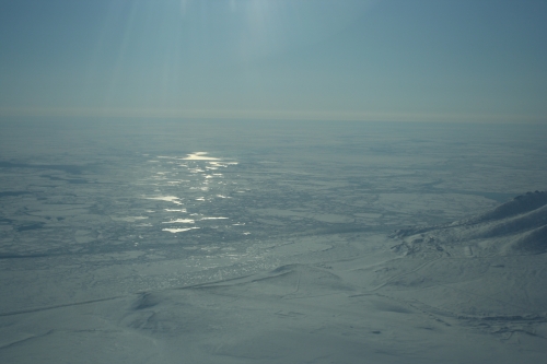
Onshore wind flow the past week has highly consolidated the ice beyond the coastline from Wales to Shishmaref. The offshore consolidated pack ice consists of young to first year thick ice. No leads or polynas are currently present offshore. North of the Diomede Islands lies a region of very close pack ice consisting of young to first year thick ice. The shorefast ice extent along the coast varies from 6 miles off Shishmaref to 22 miles off Ikpek to 12 miles off Mugisitokiwik.
5 to 10 Day Forecast
A low pressure system will move through the Chukchi Sea Friday into Saturday (13 April) with southwest winds of 10 to 20 mph (7-15 knots) before high pressure returns Sunday with light winds. The westerly flow near St. Lawrence Island will aid in closing the polyna off the southern coastline. A few small leads may form beyond the shorefast ice from Wales to Shishmaref Friday into early Saturday due to the offshore wind flow. As winds decrease and temperatures drop on Sunday, leads will refreeze, and areas of new and young ice will increase in thickness. The high pressure will shift to the Beaufort Sea Monday (15 April) with winds increasing from the south at 15-20 mph (10-15 knots). Another low pressure system will move out of the Arctic Tuesday (16 April) and weaken as it moves into the Norton Sound Tuesday night with winds switching to the north at 10-15 mph (5-10 knots). A narrow polyna may once again form along the southern shoreline of St. Lawrence Island on Tuesday, remaining open near shore with new and young ice continuing to form as winds decrease. Weak high pressure remains over the Beaufort Sea through Monday the 22nd, with light winds (<15 mph or <10 mph). Temperatures during this period will be below normal with overnight low temperatures in the 5 below to 15 below range through this weekend and barely in the single digits through the next week. Daytime high temperatures will most likely remain in the teens. Overall the area from Wales to Shishmaref will see minimal changes to the sea ice conditions.
Arrows show wind direction and wind speed in knots

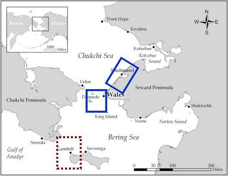

Remote Sensing Images
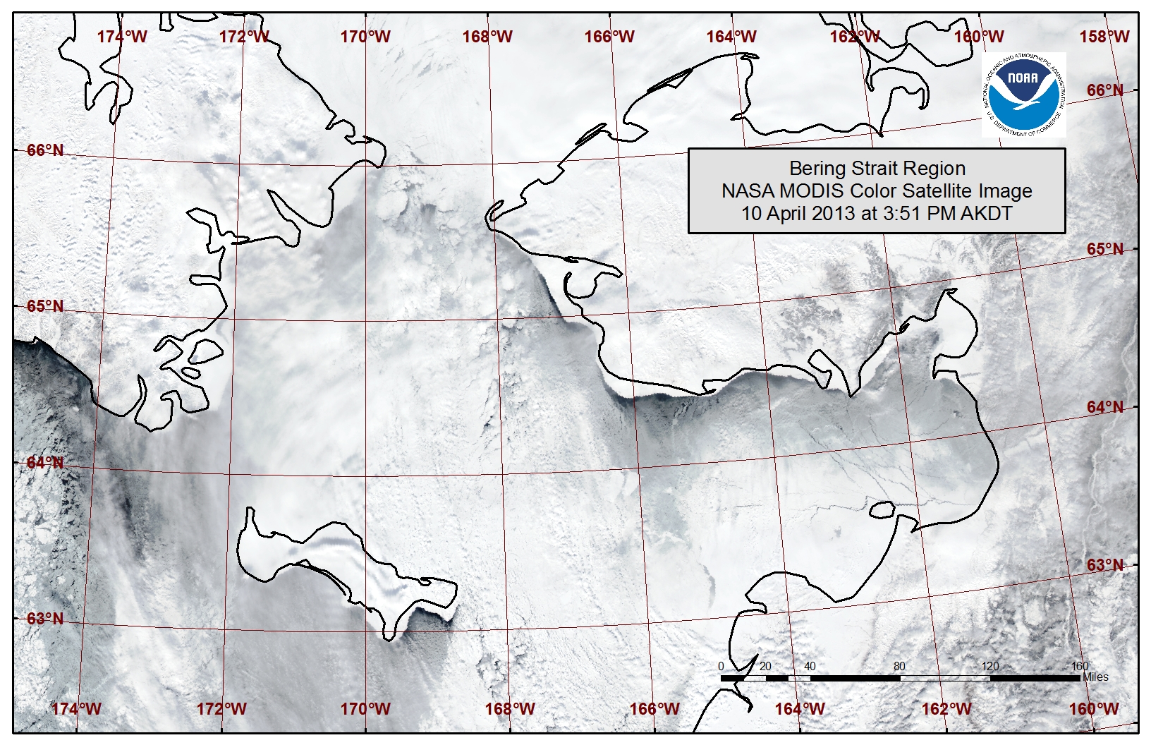
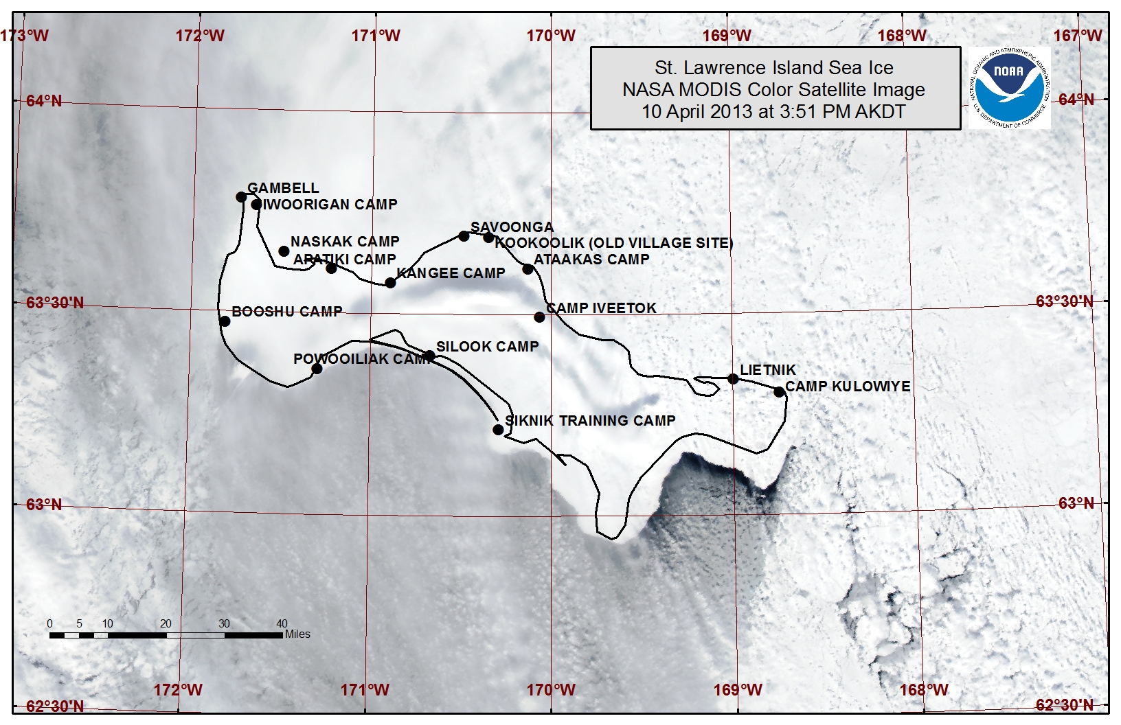
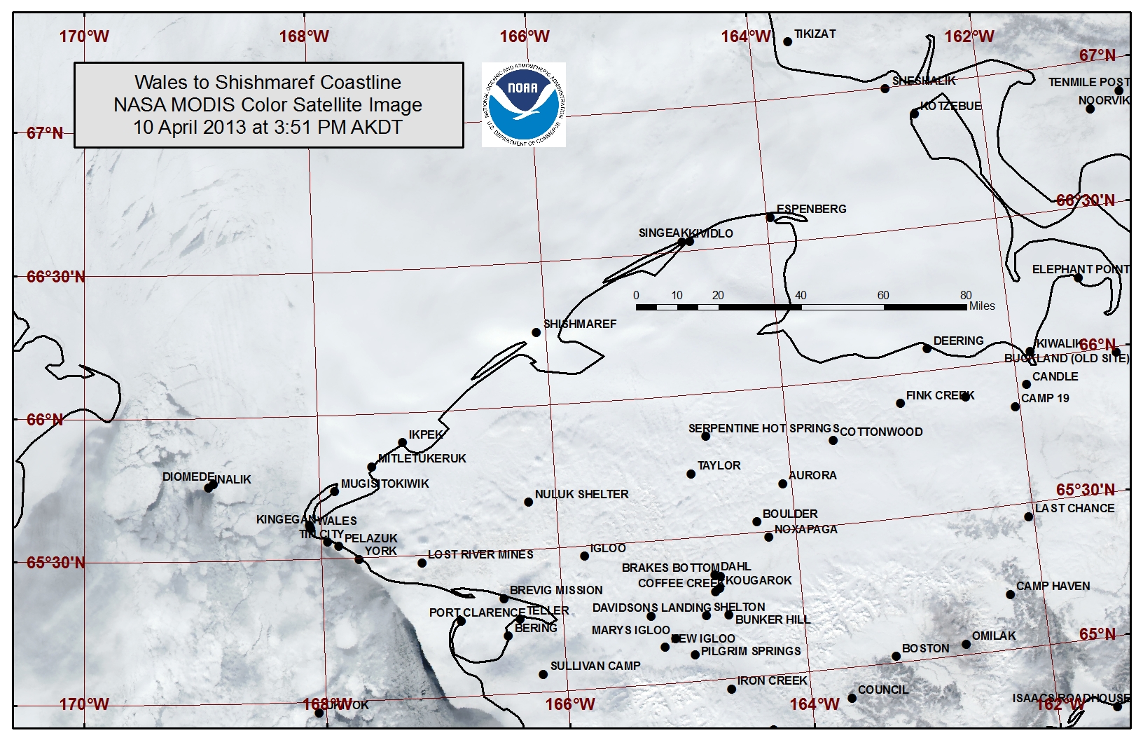
Observations and Comments
Observations of Sea Ice Development
Comments from Wales
14 April 2013 - Hajo Eicken, UAF
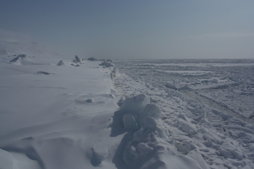
During a field visit to Wales, our group was able to sample the shorefast ice along the coast from Cape Mountain to a site 10 km north of Wales. Thickness of the level ice is around 0.9 to 1.0 m (3 ft to 3 ft 4 in), with 0.2 to 0.4 m of snow (8 to 16 in). This is at the very low end of the range of thicknesses measured here in the past 6 years. Last year the ice was thicker by about 1/3. Also, much of the shorefast ice is smooth with little deformation. Local experts expect break-up of the shorefast ice to proceed more quickly than normal because of these conditions.
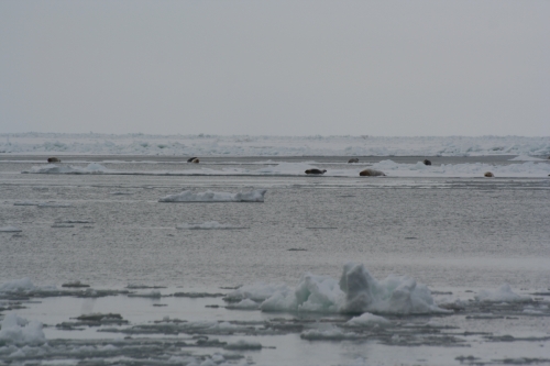
A boat launch site is being put in by the community; access to the edge of the shorefast ice is comparatively straightforward because of the lack of rough ice. A visit to the shorefast ice edge on 13 April showed a group of about a dozen bearded seals resting on ice. The ice was setting north with the current at about 1 knot and weak easterly winds were keeping a small lead open. On 14 April the lead was mostly closed.
12 April 2013 - Winton Weyapuk, Jr.
This past week we've had mainly northerly and northeasterly winds which have kept a lead open along the shorefast ice edge with open water towards the southeast. The open lead ended in a corner a few miles north of Wales. Yesterday, 11 April, would have been a good day to launch boats and the lead showed near optimal conditions for hunting. South and southeasterly winds will probably keep the lead closed until the wind shifts again to the north and northeast.
Comments from Shishmaref
11 April 2013 - Curtis Nayokpuk
We have seen open water past the shorefast ice 5-7 miles out and it was confirmed via satellite images. Over the course of the winter the monthly southerly and southeasterly winds show thick ice moving out and open water freezing in a thin layer all the way from the Wales Shoal to Kotzebue Sound. It will be an early spring hunt if the leads stay open due to the thin ice.
