Assessment of Current Ice Conditions Relevant to Distribution and Access of Walrus
This will be the last SIWO outlook for the 2010 season.
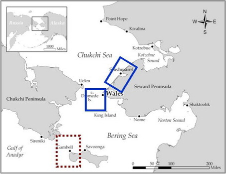
Near St. Lawrence Island
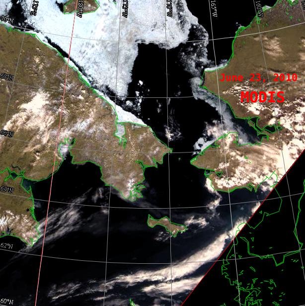
The waters around St. Lawrence Island are becoming virtually sea-ice free except for some floes off the eastern end of the Island. The concentration is less than 20% and the floes are generally very small. All the "last ice" in the Gulf of Anadyr is gone. There is still persistent shorefast ice present along the northeastern coast of the Island, east of Savoonga.
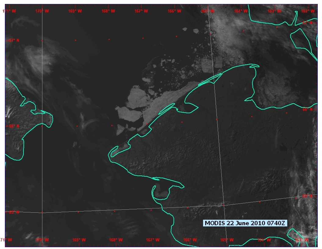
Wales to Shishmaref
Satellite imagery shows that the shorefast ice off of Shishmaref has finally begun to really break up. Large portions of the fast ice are moving slowly northward. Very little ice, if any, is present west of Wales.
5 to 10 Day outlook: June 25 to July 5
A high pressure ridge will build over the central Bering Sea today (Friday, June 25) and persist through Monday, June 28. Southerly winds will dominate the region and with little or no sea ice present, seas will build to 6-7 feet through Monday, June 28. These southerly winds should help move the remnants of shorefast ice northward. A low system will move into the central Bering Sea from the west on Tuesday, June 29, and persist but weaken through Monday, July 5 as high pressure builds to the north of Chukchi Sea.
Arrows show wind direction and wind speed in knots


Remote Sensing Images


