Assessment of Current Ice Conditions Relevant to Distribution and Access of Walrus
Near St. Lawrence Island
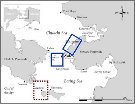
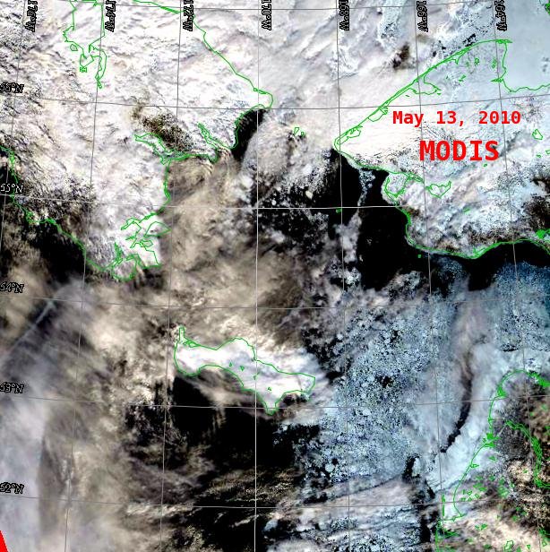
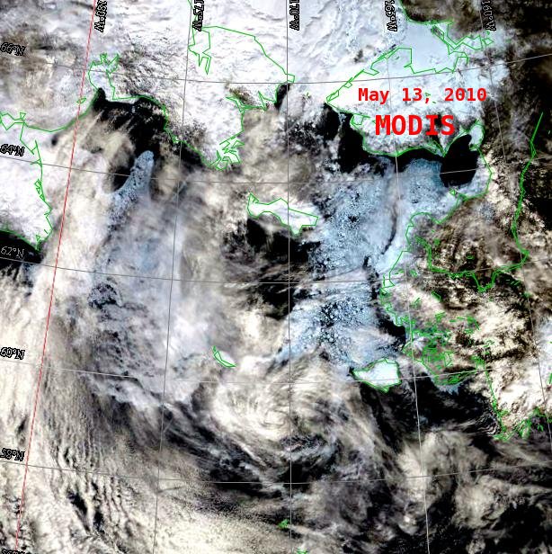
Northerly winds are continuing to persist well into May. These winds are keeping a lot of the ice south of the Bering Strait, especially east of St. Lawrence Island where ice concentration is 50-70%. North and west of St. Lawrence there are large expanses of open water and new, young ice with numerous, mixed-size, individual, heavier ice floes in long bands. South of St. Lawrence there is 30-50% concentration of ice extending over 60 miles south. There are still some narrow bands of shorefast ice along the southern shore of the island.
Wales to Shishmaref
There is a heavy band of mix-sized ice floes extending along the coast north of Cape York. Concentration of the ice band is 30-50%. Some of the floes are more than a mile in size. Further offshore of this band is an area (25 miles wide) of open water and new, young, and some heavier floes. Clouds cover the coast near Shishmaref in the satellite imagery, making it difficult to see the ice conditions. The shorefast ice near Shishmaref continues to disintegrate with numerous fractures and leads, and some small open water areas. The northerly winds continue to push the ice up against the coast.
5 and 10 Day Outlook: May 19 to May 24
Northerly winds will continue to persist over the next 10 days with little change in sea ice conditions. Winds will range between 15 and 25 knots. Temperatures will be warmer.
Arrows show wind direction and wind speed in knots


Remote Sensing Images


Observations and Comments
Observations of Sea Ice Development
14 May 2010 - Hajo Eicken - Update on Drifter Deployments
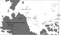
 With the help of our collaborators in Wales and Gambell and courtesy of the International Arctic Buoy Program (Ignatius Rigor & Mark Ortmeyer, iabp.apl.washington.edu), a drifter has been released on sea ice in our study area. This drifter indicates ice movement and is currently off Shishmaref, north of Bering Strait (see the map to the right, ID 89887, and the link added to the "Additional Information on Ice Conditions" section above). We hope to have two more deployments in the coming weeks, so stayed tuned.
13 May 2010 - Winton Weyapuk, Jr. - Summary of Ice Development in Wales
Between May 5 and 8, very few or no leads were present at the landfast ice edge. On May 6, a rubble pile (8-10 feet high) had formed at the boat launch site, blocking access. For the past few days, leads where present off Wales but winds were too strong for boats to go out (20 to 25 mph). In general, leads tended to narrow and close a few miles north of town, but were much wider to the South. The hope is that weather improves for the weekend, with some indications for improvement in the forecast as well.
