Assessment of Current Ice Conditions Relevant to Distribution and Access of Walrus
Near Gambell
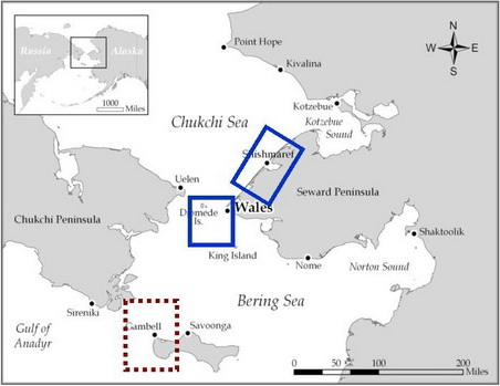
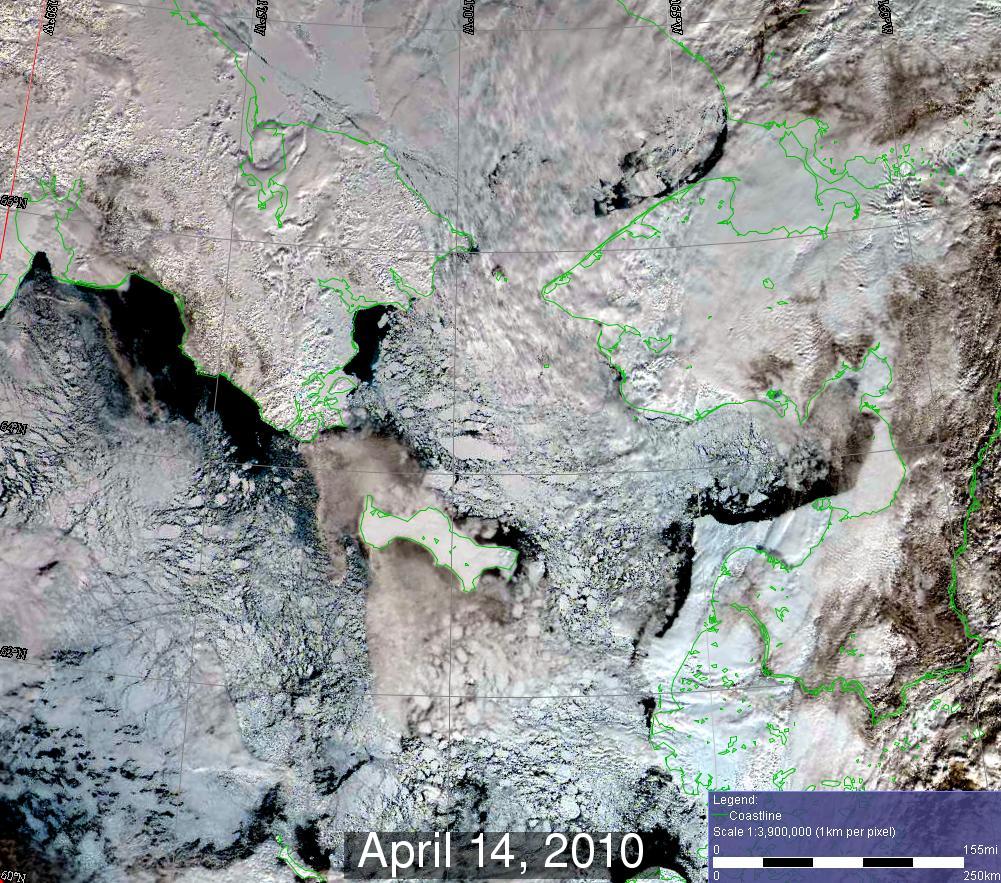
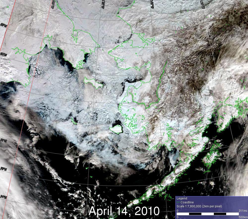
The change in the weather pattern over the last week has resulted in very little shorefast ice present around Saint Lawrence Island. Another significant change noted is on the southwest and south sides of Saint Lawrence Island where southerly winds brought older ice in high concentrations within 10 miles of shore. Meanwhile, ice concentrations have thinned on the north side of Saint Lawrence Island. Young ice was prevalent near Gambell to more than 20 miles west and north of Gambell. Satellite indicated less new ice and more open water from west of Gambell to north of Savoogna. However, large floes were drifting south into and toward Niyrakpak Lagoon. Most of the floes were around 5 miles in length, however, there was one floe over 10 miles in length present about 7 miles north of Savoogna.
Wales to Shishmaref
There was a significant reduction in the shorefast ice from Wales to Shishmaref, especially in the vicinity of Wales where the shorefast ice now extends less than 5 miles. There was still about a 15-mile wide extension of the shorefast ice to 30 miles offshore, midway between Shishmaref and Wales. New thin ice and open water exist just north of the shorefast ice near Shishmaref, with significant variations in floe size. There were several floes a mile or less in diameter to the northwest of Shishmaref and one floe nearly 25 miles in diameter northeast of Shishmaref. The ice in this vicinity was generally moving southeast to east.
Relatively cloudy conditions have been hindering satellite observations of the sea ice the last few days in the vicinity of Wales. Therefore, confidence in actual conditions is somewhat low. It appears sea ice concentrations have remained high from near Wales to well offshore to the west and south, with open water leads. The general flow of ice has been southward toward Saint Lawrence Island.
5 and 10 Day Outlook: April 21 to April 26
The general weather pattern starting on the 21st through the 24th will be for higher pressure to the north and lower pressure to the south, but weather features will be relatively weak. This will result in slightly lighter north to east winds with normal to slightly above normal temperatures. Major changes in ice conditions are not expected as a result, and any changes will be slow to occur. The general flow of ice will remain to the south or southeast. The high concentrations of ice that have built up to the south of Saint Lawrence Island prior to the 21st will likely be less. Meanwhile, the lower ice concentrations west of Gambell will likely persist with increases in ice concentrations north of Saint Lawrence Island. The warmer conditions may also help more shorefast ice to break free between Wales and Shishmaref, with little change expected north of the shorefast ice.
Greater uncertainty exists beyond the 24th. There are indications that another larger low pressure system will be moving into the central Bering Sea sometime between the 25th and 27th. If this does indeed occur, stronger southeast to easterly winds will develop with near normal temperatures persisting. This would likely bring higher concentrations of sea ice to the south side of Saint Lawrence Island, and more clearing to the west and north.
Arrows show wind direction and wind speed in knots


Remote Sensing Images


Observations and Comments
Observations of Sea Ice Development
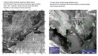
16 April 2010 - Hajo Eicken - Information on Landfast Ice North of Wales and Shishmaref The radar satellite image (left side of image on right) shows that the landfast ice described by Curtis Nayokpuk on 5 April is held in place by ridged ice that ran aground on the western side. On the eastern side the ice was not as heavily deformed. This may explain why large parts of it broke out around 11 April (at time when storm was pushing water up through ice at Wales as described by W. Weyapuk, Jr.) creating leads closer to Shishmaref on 15 April (right side of image on right).
