By: Commander Shawn Gallaher and Dr. Joseph Smith, U. S. Naval Academy, Oceanography Department
Contributors: Dr. Ludovic Brucker, NASA Goddard Space Flight Center, Cryospheric Science Laboratory; Dr. Thomas Douglas, U. S. Army, Cold Regions Research and Engineering Laboratory (CRREL) – Alaska Programs Office; Scott Davids and Commander Scott Drayton of the U. S. Naval Academy Aerospace Engineering Department
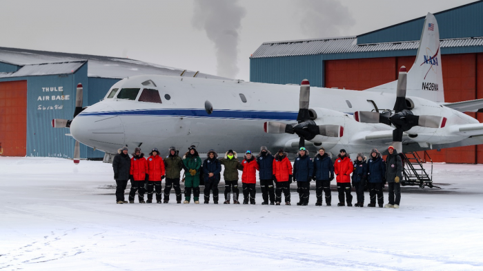
In mid-March 2017, nine midshipmen and four faculty members from the U. S. Naval Academy (USNA) participated in a joint ice experiment (ICEX) with the NASA Operation IceBridge (NASA-OIB). OIB is an airborne survey program established to mitigate the gap in polar observations between the termination of NASA's Ice, Cloud and Land Elevation Satellite (ICESat) and ICESat-2, which is scheduled to launch in 2018. The team from USNA were members of the Polar Science and Technology Program (PSTP), an initiative that engages students in technology innovation and introduces them to Arctic environments. The overall goal of the USNA/NASA-OIB ICEX-2017 was to collect measurements of snow and ice along the Thule Air Base survey track for validation of NASA OIB airborne radar systems; the Thule Air Base track is part of the NASA OIB mission inventory that is revisited each year to monitor snow and ice changes in the polar regions.
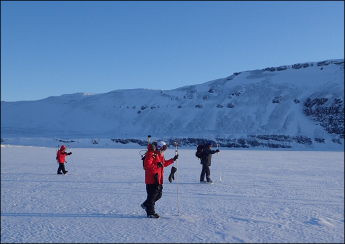
The USNA team arrived in Thule on the morning of 9 March and immediately began executing the ICEX science plan on the fast-ice (i.e., ice that is anchored to shore) over North Star Bay in northwest Greenland. Field conditions were harsh with temperatures on the sea ice below -20 °F and wind chills near -40 °F. Nonetheless, the USNA continued their surveys, including measuring electromagnetic conductivity of the sea ice and on-ice snow depth. Following the ice-snow surveys on North Star Bay, NASA scientist Dr. Ludo Brucker and CRREL scientist Dr. Tom Douglas led students to the opposite side of the airfield ramp to conduct snow surveys along the terrestrial side of the NASA OIB survey line. Along with snow surveys, snow water equivalent (SWE) measurements were taken every 100 m along the 10 km track.

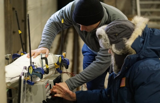
Back at the Thule Air Base main hanger, the USNA aerospace engineers were field testing student-designed Arctic capable unmanned aerial systems (UASs). Field tests included evaluation of electric power systems, battery pre-heating techniques, anti-icing, and UAS launch/recovery modifications for ice/snow conditions.

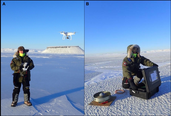
Surface aerial surveys of fast-ice were flown using a quadcopter with an ultra-high definition video camera over three surface features on the fast ice: 1) a rubble field, 3) a ridge feature, and 3) an iceberg grounded in the fast-ice. The quadcopter was programmed to fly autonomous missions. Still images were collected at regular intervals during each mission and were used to identify and characterize surface features on the fast-ice. Subsequently, 3-D maps were developed from these images using drone-based mapping software, which will serve as a proof-of-concept model for using drones to map inaccessible snow and ice surfaces, such as icebergs and glaciers.


Overall the USNA/NASA-OIB ICEX was a great success, providing an opportunity to expose USNA Midshipmen to Arctic research, give the next generation of future Navy and Marine Corps Officers experience operating in extreme environments, and enhance their operational understanding of the Arctic region—a region where they will likely operate in the future. Data and results from the ICEX were compiled and presented to NASA-OIB for comparison to their measurements collected aboard the OIB P-3 airborne laboratory. This data also forms the basis for current and future Independent Research and Capstone Engineering Design Projects at the U. S. Naval Academy along with follow-on summer internship experiences at NASA Goddard Space Flight Center. The ICEX would not have been possible without support of the NASA OIB Program and the Office of Naval Research (ONR) Code 32 Arctic & Global Prediction Program. Pictures and video from the ICEX can be found on the USNA PSTP Facebook page.

